
From scan to signed-off as-built.
LiDAR capture, scan-to-BIM and LOD 500 record models for renovation, verification and deviation analysis. Accurate to ±5 to 10mm against survey control. Send us a laser scan or point cloud and we return a verified as-built model of the building as it stands.




















Designing against assumptions, not measurements.
Existing drawings are decades old, dimensions don't match the building, services have been re-routed. Retrofit work proceeds without verified geometry, and construction-phase documentation gets lost. On a heritage refurbishment or a fit-out inside an occupied building, a laser scan is often the only honest record of what is actually there. The owner pays twice, once for construction, again to reconstruct what handover should have produced.
From scan to verified record
Laser scan and drone capture turned into accurate BIM models. ±5–10mm verified geometry, point clouds registered against survey control points and modelled to LOD 500. The same modelling discipline we bring to new-build BIM production, pointed at a building that already exists.
Site capture
Terrestrial scanning and drone capture across the whole asset.
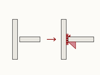
Every sweep registered to survey control points, including what the drawings missed.
Registration & QA
Raw scans aligned and cleaned into one verified dataset.
Cloud-to-cloud accuracy checked, ready to model.
BIM modelling
Architecture, structure and MEP modelled as it actually exists.
Held to tolerance against the verified data.
Deviation analysis
The record model checked against design intent.
Deviations logged and mapped. A reconciliation, not a copy.
One auditable LOD 500 record, from site to model. Hand that model on as the basis for a digital twin your FM team runs the asset from.
As-builts we've delivered
As-built models and documentation captured during construction, not retrofitted at handover, across high-rise, master-planned and infrastructure projects.

Sphere Abu Dhabi
The first Sphere venue outside the United States: a 20,000-capacity spherical ve…
Read the case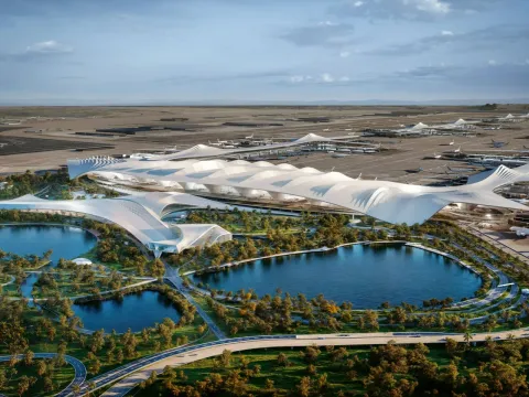
DWC Airport
Terminal-scale design packages for Dar Al-Handasah on Dubai World Central's next…
Read the case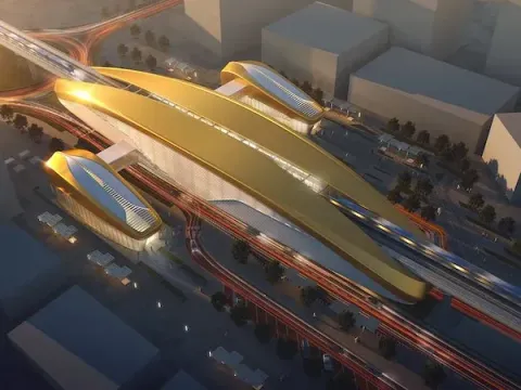
Dubai Metro Blue Line
MEP modelled and coordinated across Blue Line stations and depots for MNG Esmas,…
Read the case
Wynn Ras Al Khaima
Over 100 people at peak across MEP, structural and interior fit-out packages on …
Read the case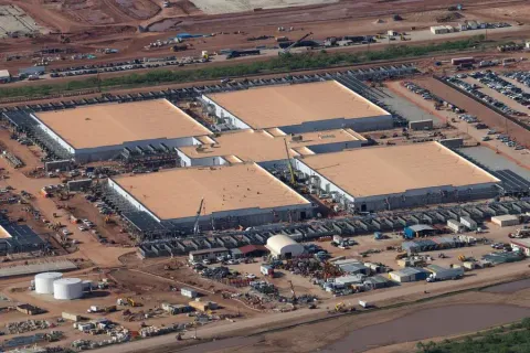
Stargate Data Centre
Every N+1 and 2N redundancy path verified in 3D against Tier-rating requirements…
Read the case
Zayed National Museum
Mechanical, electrical and plumbing threaded through Foster + Partners' steel-fe…
Read the caseThe as-built ISO 19650 pack.
A working set we issue with every live engagement: BEP, Responsibility Matrix, MIDP/TIDP and LOIN definitions. The same governance that keeps record information clean from handover into operation.
- Contents
- 20+ documents · Word, Excel & PDF · one zip
- Aligned
- ISO 19650-2 · ISO 19650-3 · Uniclass 2015
- Audience
- Developers · FM Teams · Asset Managers
How as-built delivery actually runs
-
A UAE PM owns your programme
Onsite, accountable, one name on the contract. Available in your meetings, your time zone, your site walks, whether the scan is in Dubai or across the wider region.
-
A 260-person studio delivers the work
Scaled to your programme, ramped up and down as packages move. You pay for capacity, not for a bench.
-
ISO 19650 is baked in, not bolted on
Author-Checker-Approver on every deliverable. EIR, BEP and CDE governed from project setup through handover.
 6 min
6 min
From LOD 350 to fabrication-ready
Why "coordinated" models still cause site rework, and the handoff that fixes it.
Read 5 min
5 min
The BEP subcontractors actually follow
The difference between a filed document and a working agreement is five sections.
Read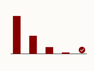 6 min
6 min
Zero clashes is not the standard
Zero hard-clash is not the deliverable and it is rarely the end state. Here is the tolerance, severity and gate regime we hold a federated model to before sign-off.
Read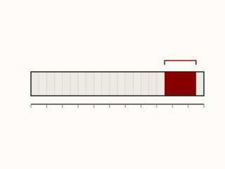 6 min
6 min
QTO as the single source of truth for variations
When quantities come straight from the model, variations stop being arguments and become deltas.
Read 5 min
5 min
As-built from day one
Retrofitting an as-built at practical completion is a tax. Updating it weekly is a habit.
ReadCommon questions about scan-to-BIM
We work from most terrestrial and mobile laser scan outputs, including E57, RCP and RCS point clouds, LAS and LAZ, plus raw project files from Faro, Leica and NavVis capture. If you already hold a registered point cloud, send that; if you only have raw scans, we register and clean them first.
As-built drawings are 2D sheets that record what was built. Scan-to-BIM produces a 3D record model, geometry plus data, that the drawings, schedules and FM information can all be pulled from. The model is the single source; the drawings are one output of it.
We model to LOD 500, the as-built level where geometry reflects the building as verified against the scan rather than as designed. Where a lighter record is enough, we agree a lower LOD per element in the BEP, so you pay for the detail the asset actually needs.
Yes. If a surveyor or another team captured the scan, we can model straight from their point cloud. We check the registration and cloud-to-cloud accuracy first, flag any gaps in coverage, and confirm the control it was tied to before we start.
Cost tracks the area captured, the disciplines modelled and the LOD you need, so a single plant room and a full tower are not priced the same. Tell us the scope and we scope a fixed price against it. The pilot lets you see the record model on one area before you commit to the wider programme.